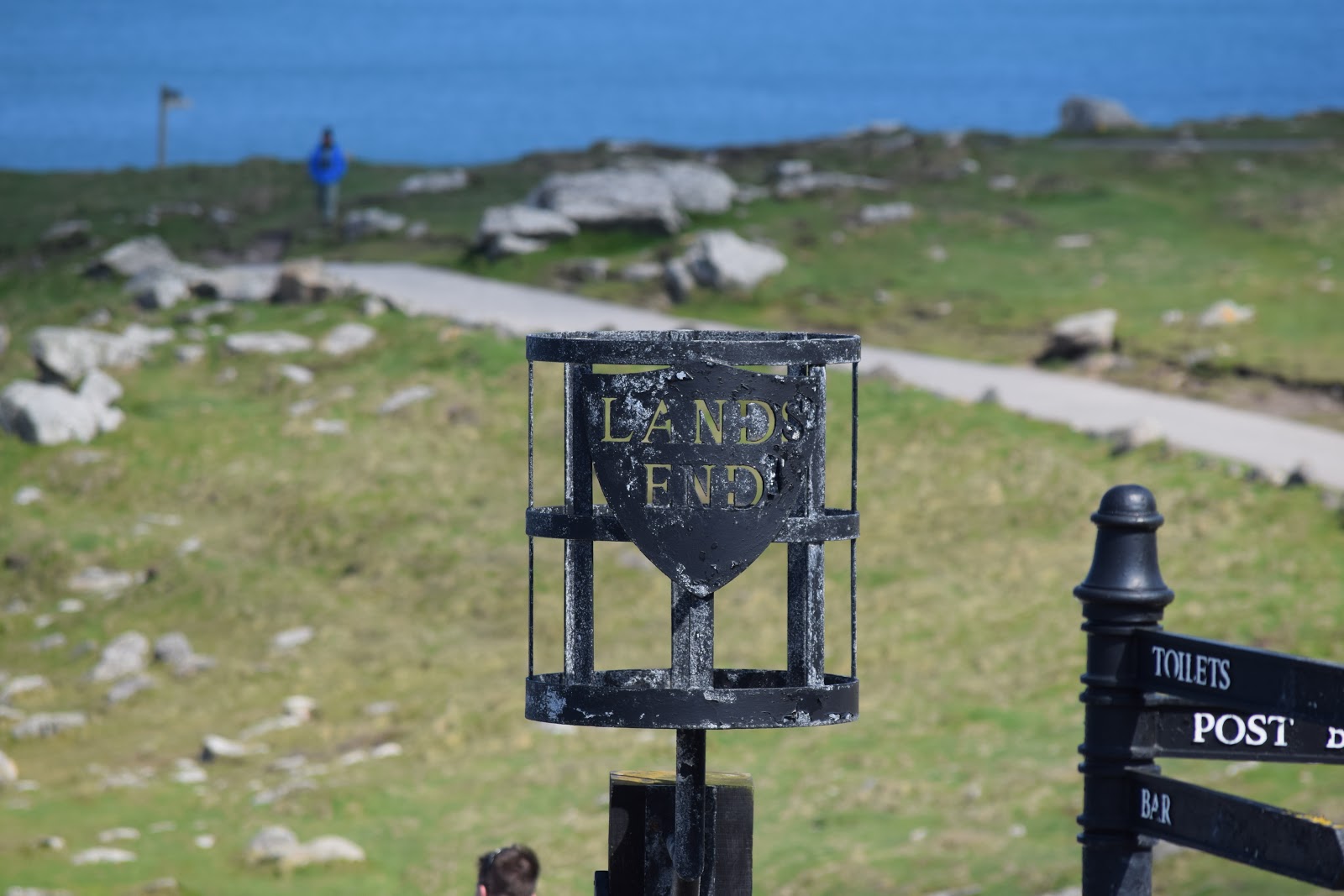
Tintagel
Historians have had difficulty explaining the origin of 'Tintagel': the probability is that it is Norman French. If it is Cornish then 'Dun' would mean 'Fort'. Oliver Padel proposes 'Dun' '-tagell' meaning narrow place in his book on place names.
The name first occurs in Geoffrey of Monmouth's 'Historia Regum Britanniae' (c. 1136, in Latin) as Tintagol, in early Middle English, the name is rendered as Tintaieol.
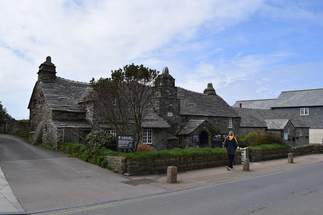
The modern-day village of Tintagel was always known as Trevena (Cornish: Tre war Venydh) until the Post Office started using 'Tintagel' as the name in the mid-19th century (until then Tintagel had been restricted to the name of the headland and of the parish). The village also has the 'Old Post Office', which dates from the 14th century. It became a post office during the 19th century, and is now listed Grade I and owned by the National Trust.
 |
| Old Post Office |
In Geoffrey's Historia, Gorlois, Duke of Cornwall, puts his wife Igraine in Tintagol while he is at war. Merlin disguised Uther Pendragon as Gorlois so that Uther could enter Tintagel and impregnate Igraine while pretending to be Gorlois. Uther and Igraine's child was King Arthur. In the Tristan and Iseult legend some events are also set at Tintagel.
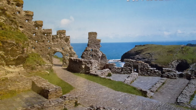 |
| Camelot - King Arthur's Castle |
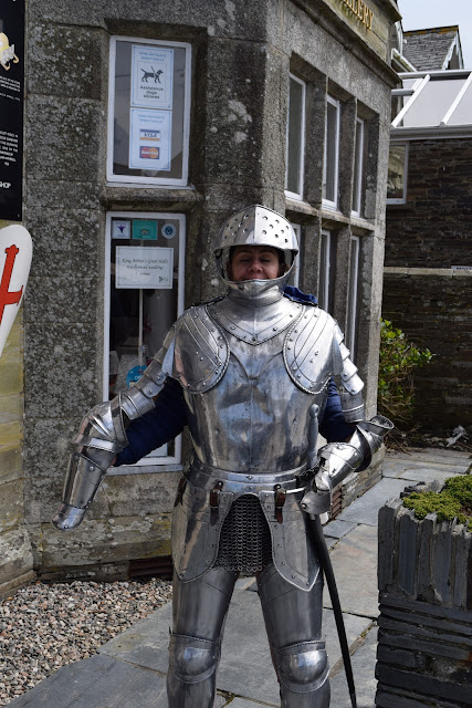 |
| Sir Silvia - knight of the Round Table |
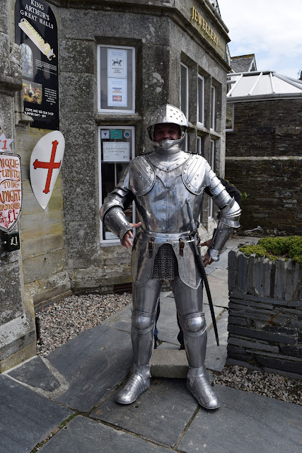 |
| Sir David - Knight of the Round Table |
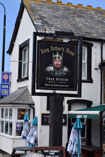 |
| Shame 'Free House' does not mean free beer |
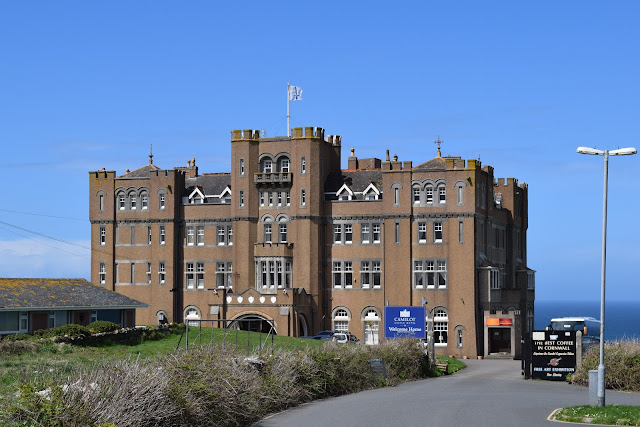 |
| Camelot Castle Hotel and Restaurant |
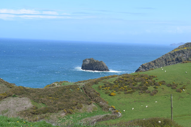 |
| Coastal view of the Atlantic Ocean |
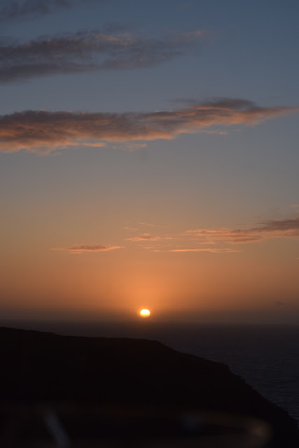 |
| Sunset |
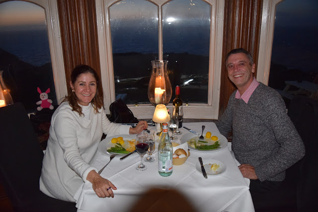 |
| Elegant meal in the Camelot Castle |
Boscastle
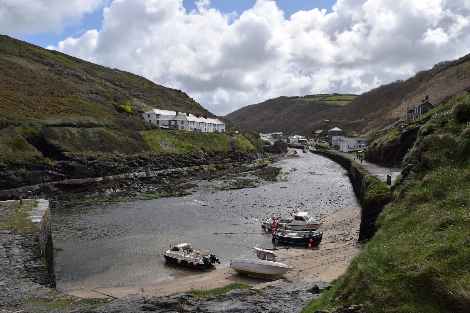
Boscastle (Cornish: Kastel Boterel) is a village and fishing port on the north coast of Cornwall, England, UK. It is 14 miles (23 km) south of Bude and 5 miles (8 km) northeast of Tintagel. The harbour is a natural inlet protected by two stone harbour walls built in 1584 by Sir Richard Grenville and is the only significant harbour for 20 miles (32 km) along the coast.
- Flood of 2004
A flash flood on 16 August 2004 caused extensive damage to the village. Residents were trapped in houses as the roads turned into rivers: people were trapped on roofs, in cars, in buildings and on the river's banks. and the village's visitor centre was washed away. Two Royal Air Force Westland Sea King rescue helicopters from Chivenor, three Royal Navy Sea Kings from Culdrose, one RAF Sea King from St Mawgan and one Coastguard S61 helicopter from Portland searched for and assisted casualties in and around the village. A total of 91 people were rescued and there were no fatalities, only one broken thumb. Around 50 cars were swept into the harbour and the bridge was washed away, roads were submerged under 2.75 metres (9 ft) of water, making communication effectively impossible until flood-waters subsided.
St Ives
Polperro is a large village, civil parish, and fishing harbour within the Polperro Heritage Coastline in south Cornwall, England. Its population is approximately 5,820.
The River Pol passes through the village, which is 7 miles (11 km) east of Fowey and 4 miles (6 km) west of the neighbouring town of Looe and 25 miles (40 km) west of the major city and naval port of Plymouth. It is a noted tourist destination, particularly in the summer months, for its idyllic appearance with tightly-packed ancient fishermen's houses which survive almost untouched, and its quaint harbour and attractive coastline.
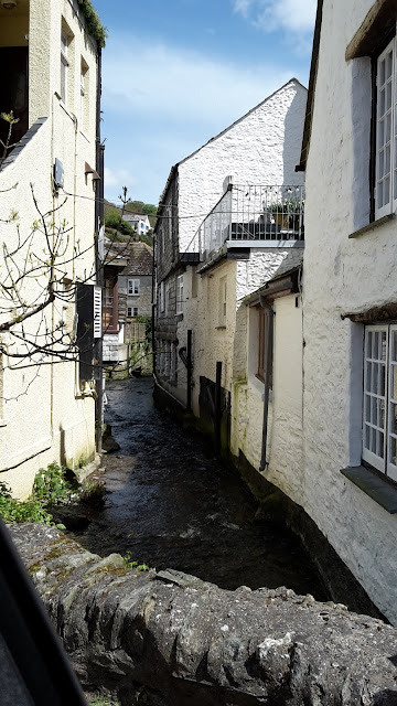 |
| River Pol |
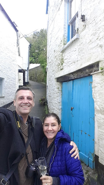 |
| Champagne |