Manizales is the capital city of one of the smallest Colombian departments, that of Caldas. The city is described as having an abrupt topography and lies on the Colombian Central Mountain Range (Andes) with a great deal of ridge-lines and steep slopes, which combined with the seismic activity in the area, has required architectural adaptations and public works to make the city safer. Even though Manizales has this very difficult topography, there are many coffee plantations in its fertile lands. The city is located in the northern part of the Colombian Coffee-Growers area ("Eje Cafetero"), near the volcano Nevado del Ruiz, which has an altitude of 5,321 meters (17,457.3 ft).
It is in the basin of the Chinchina River and sub-basin of the Guacaica River. It's natural threats are earthquakes, mud slides, and volcanic eruptions.
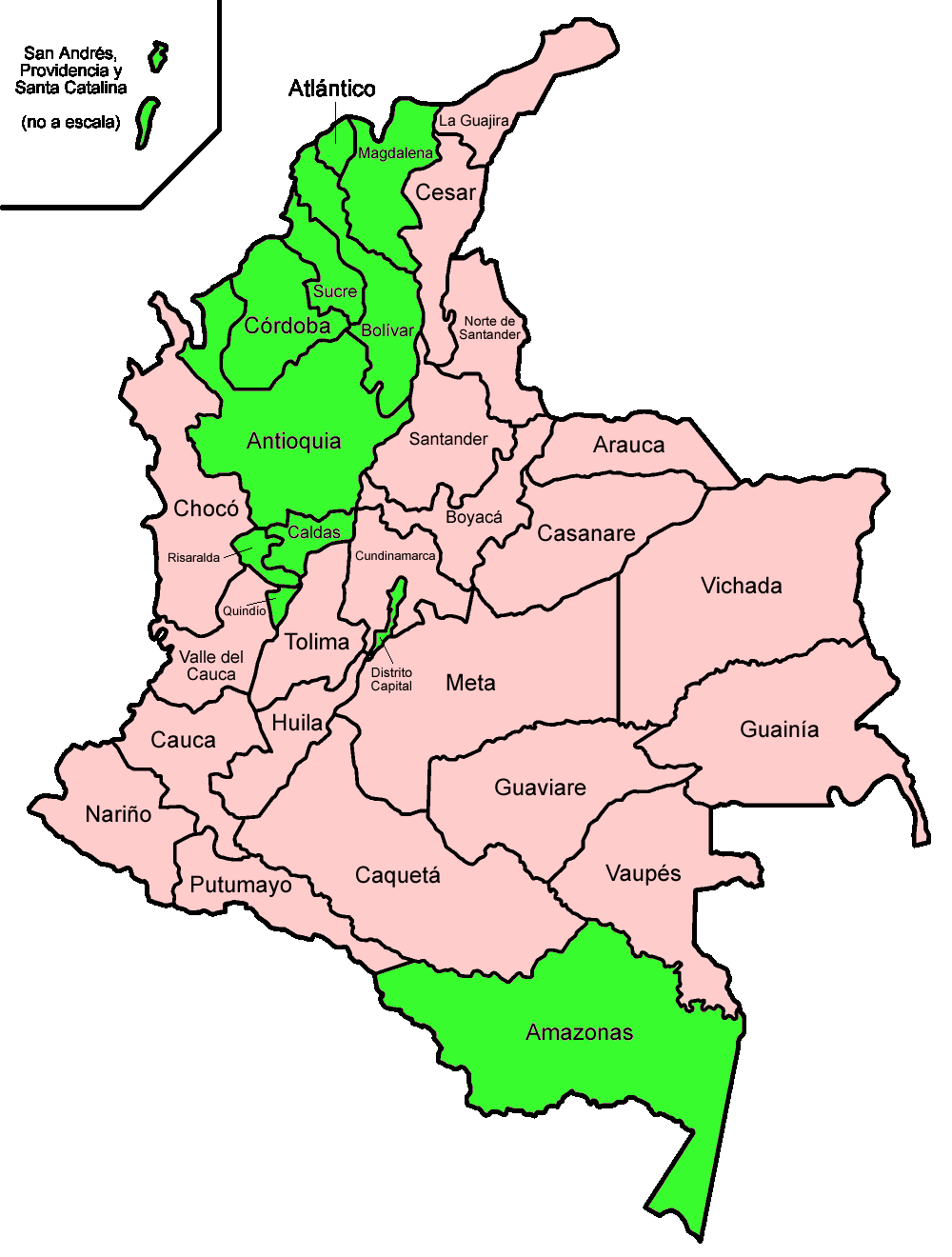
Below is a map of the states I have visited in Colombia (Shown in Green).
The Old Cable Car System
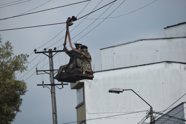 |
| How safe do you feel riding this? |
 |
| This system was also used to transport coffee and goods from one mountain to another |
The New Cable Car System
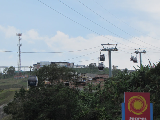 |
| Today people use this system to move around the mountainous city |
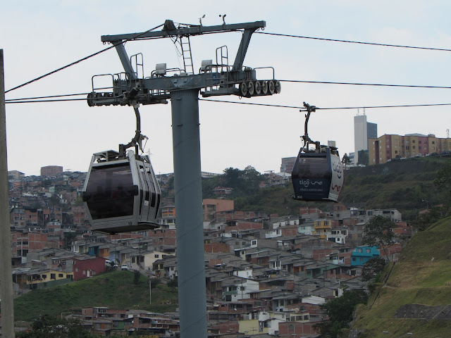 |
| Certainly looks and feels safer than the older system |
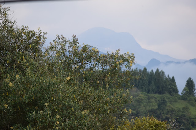
Views of the city and surrounding Area
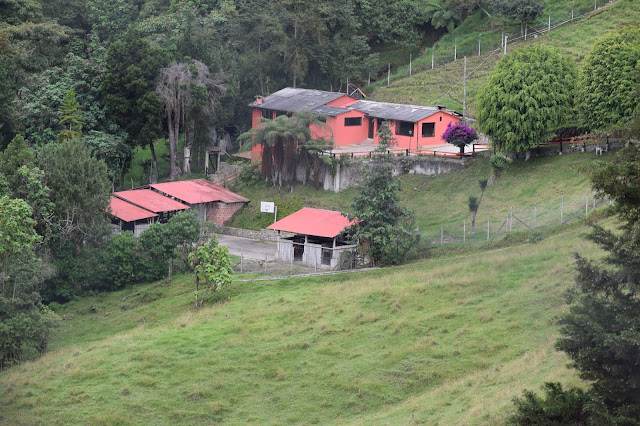 |
| A typical country house |
 |
| A Beautiful sunset |
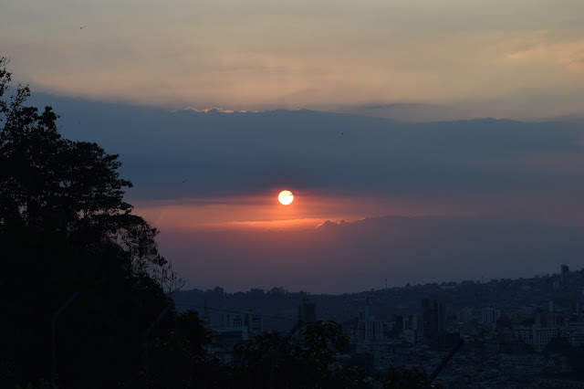 |
| A more panoramic view of the sunset |
 |
| Fancy a Beer? This aeroplane is actually a bar! |
 |
| Nice job parking. Maybe this driver had one too many? |
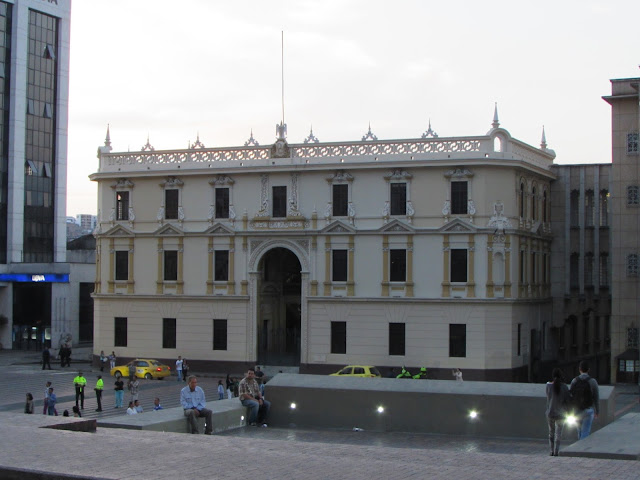 |
| The government building in the centre of the city |
 |
| A sculpture in the city centre |
 |
| More sculptures |
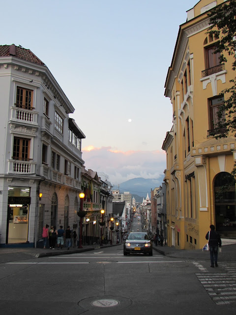 |
| A typical street in the centre of Manizales |
 |
| Modern architecture |
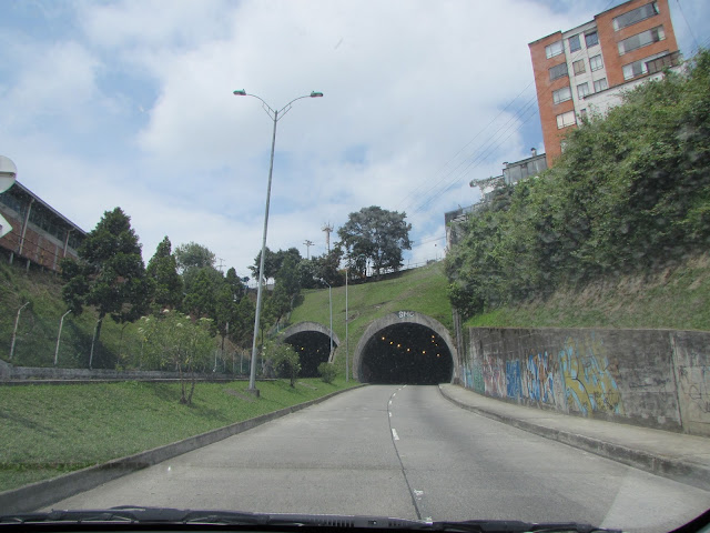 |
| Tunnel |
 |
| Volcano 'Nevado del Ruiz' |
This volcano usually generates Plinian eruptions, which produce swift-moving currents of hot gas and rock called pyroclastic flows. These eruptions often cause mud and debris flows, which pose a threat to human life and the environment. The impacts of this type of eruption is increased as the hot gas and lava melts the mountain's snow cap, adding large quantities of water to the flow. On November 13, 1985, a small eruption produced an enormous mud slide that buried and destroyed the town of Armero in Tolima, causing an estimated 25,000 deaths. This event later became known as the Armero tragedy, the deadliest in recorded history. Similar but less deadly incidents occurred in 1595 and 1845, consisting of a small explosive eruption followed by a large mud slide
The volcano is part of Los Nevados National Natural Park, which also contains several other volcanoes. The summit of Nevado del Ruiz is covered by large glaciers. The volcano continues to pose a threat to the nearby towns and villages, and it is estimated that up to 500,000 people could be at risk from future eruptions.


Colombia is elegant. :-)
ReplyDeleteWere you allowed to take pictures inside the aeroplane bar? If yes, kindly post them too
ReplyDeleteUnfortunately the bar was closed so we could not get inside.
Delete